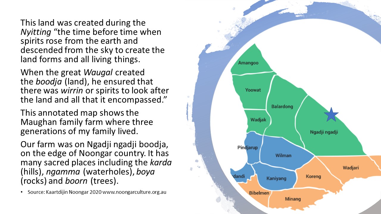
Annotated Map of Kirkhaugh Farm, Nukarni
 |
| Kirkhaugh Farm September 2020 |
The Place, Image, Object unit called for us to construct an annotated map of a place of significance to you and/or your family history. I have never heard of, let alone attempted to construct one prior to this unit. The instructions were to have a base layer map with additional material used to explain sites of significance on the map. The additional material can include brief passages of written text and/or still images and/or objects. The assessment also required us to write a short (250 word) reflective statement.
I created an annotated map of the farm I grew up on at Nukarni, Western Australia. Thanks to a suggestion from my friend Deb I used Google Earth. The link to the map is:


Comments
Post a Comment